As Scotland’s Garden and Landscape Heritage (SGLH) Chairman I am very proud to present this story about Glenbervie House by Marion Shawcross and Fiona Gordon, volunteers on the Glorious Gardens team assigned by SGLH to the recording of non-inventory designed landscapes and gardens in the Falkirk area. The Glorious Gardens project was launched in Falkirk in 2015 and was funded by Historic Environment Scotland. This is one of the 16 sites covered by SGLH in this area. A similar project was carried out in the Clyde and Avon Valley, and we are currently planning a third phase, which will focus on sites in East Lothian. For more details, please go to https://www.sglh.org.
Early History
The name “Glenbervie” does not appear on any early maps of Stirlingshire although there has been a settlement in that area since the 13th century. William Wallace was said to have sheltered in an oak tree in the nearby forest now known as Wallace Wood. He was hiding from Edward I after his defeat at the Battle of Falkirk in 1298.
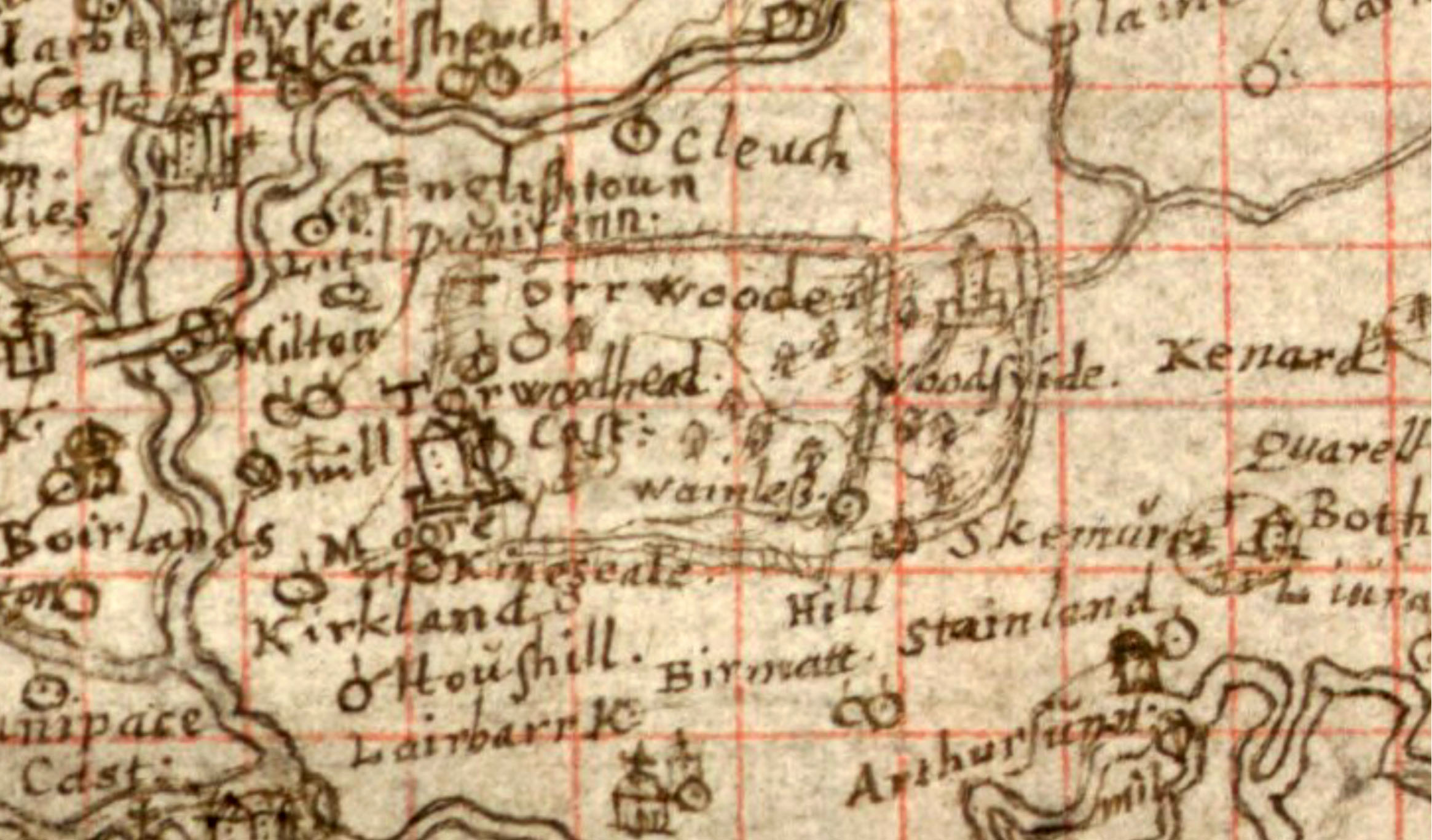
The cartographer, Timothy Pont, drew a tower house called Woodyside, surrounded by trees and parkland, on his East Central Lowlands map, drawn between 1583 and 1614. The Bruce family acquired the estate in the 15th century and in 1590 they built a new house, called Woodyside. In 1629 a devastating natural disaster affected Woodyside lands. Known as “the sliding of the moss” it was an avalanche of black slimy moss that ruined fertile arable and grazing land. Twenty families had to flee for their lives.
The Bruce, Dunbar and Stirling families
A few years later in 1636 Thomas Bruce IV sold the estate to Sir Henry Rollo, who built a new Woodyside mansion beside the old house. In the 18th century, when the estate was owned by George Dunbar of Plean, Woodyside was known as Dunbar House and is shown as such on Roy’s military survey map of Scotland (1747 – 1755). Following the departure of the Dunbar family it reverted to “Woodside.”
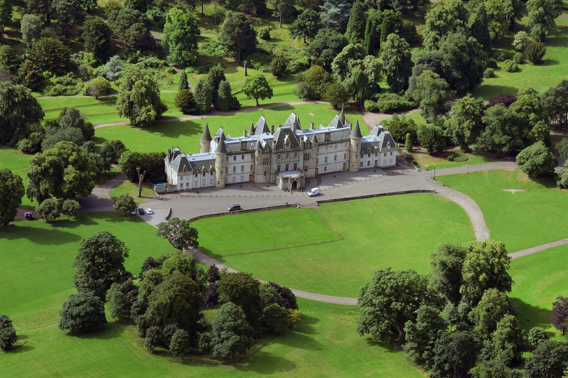
The house finally acquired the name “Glenbervie” in 1830 when the owner at the time, Sylvester Douglas Stirling, great grandson of Baron Glenbervie of Kincardine, chose to keep the name alive because the Glenbervie peerage had died out in 1823. Tragedy struck the family in 1846 when Sylvester Stirling drowned at Ardrossan at the age of 43. His widow, Anne, demolished the house in 1850 and built the present house in the Jacobean revival style. She lived on at Glenbervie until her death in 1899.

In 1899 James Aitken of Darroch bought Glenbervie which remained in the Aitken family until 1923. It is not clear what happened to the estate in subsequent years, although the Carron company owned some of the land around the house.
Gardens and Parkland
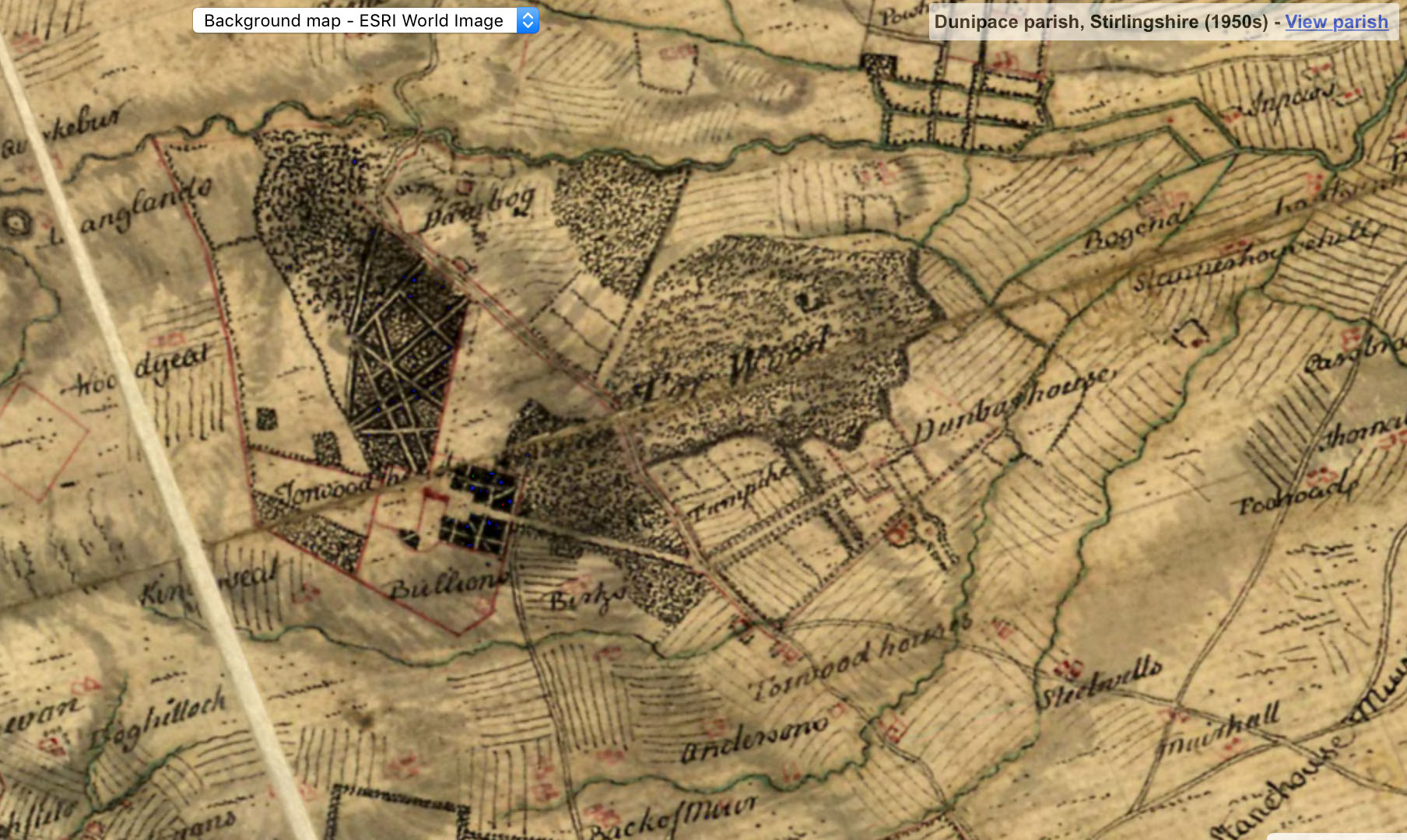
Few records survive and almost nothing appears to have been written about the gardens at Woodyside and Glenbervie. The maps give us limited information. Pont, who visited the places he recorded, drew a tower house surrounded by parkland. Roy, who worked in an era of great enthusiasm for gardens, showed the layout of the Dunbar House garden in some detail. Immediately around the house, three square areas bounded by walls may have been formal gardens.
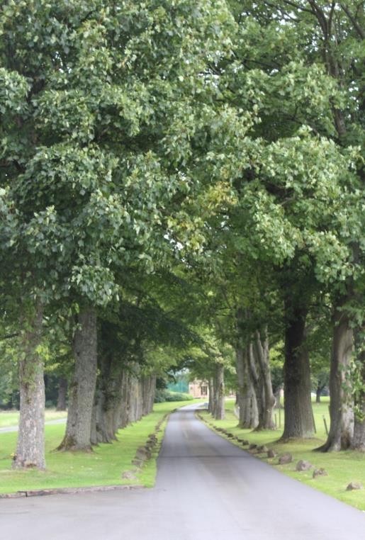
A tree-lined avenue linked the house to the main Edinburgh-Stirling road and a second avenue crossed this at right angles. A third avenue went south-east towards the river on the south-east boundary. Half way along this avenue there was a rond (round) space which may have held a statue, creating a pleasant vista from the house. The surrounding fields were for arable crops.
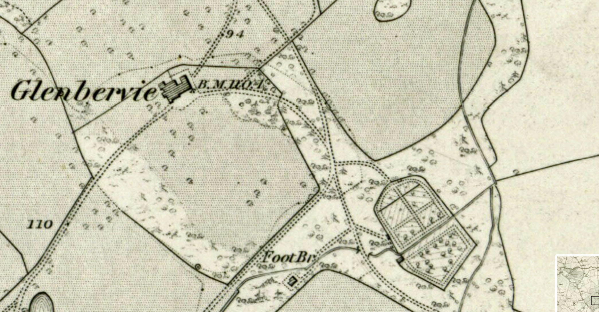
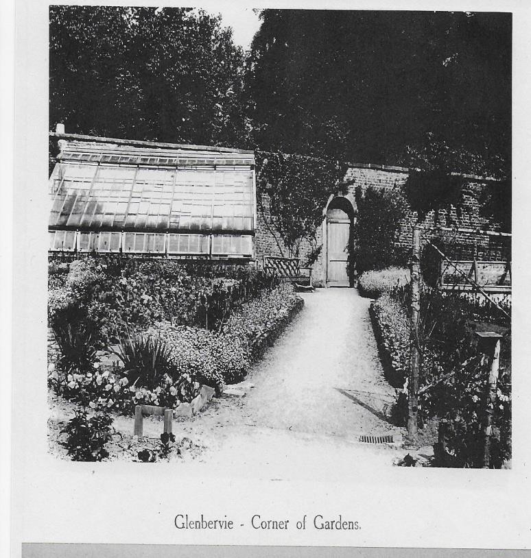
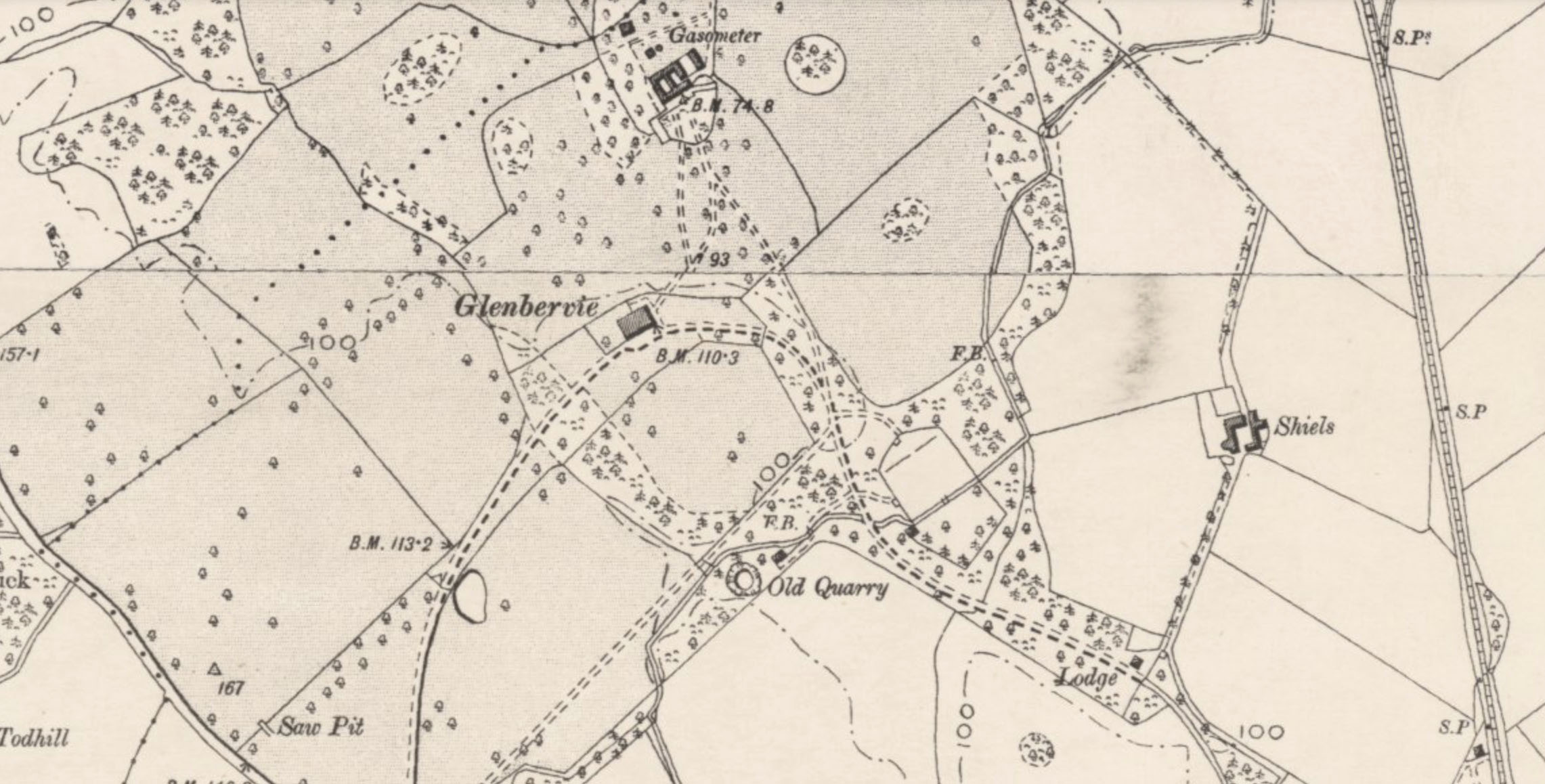
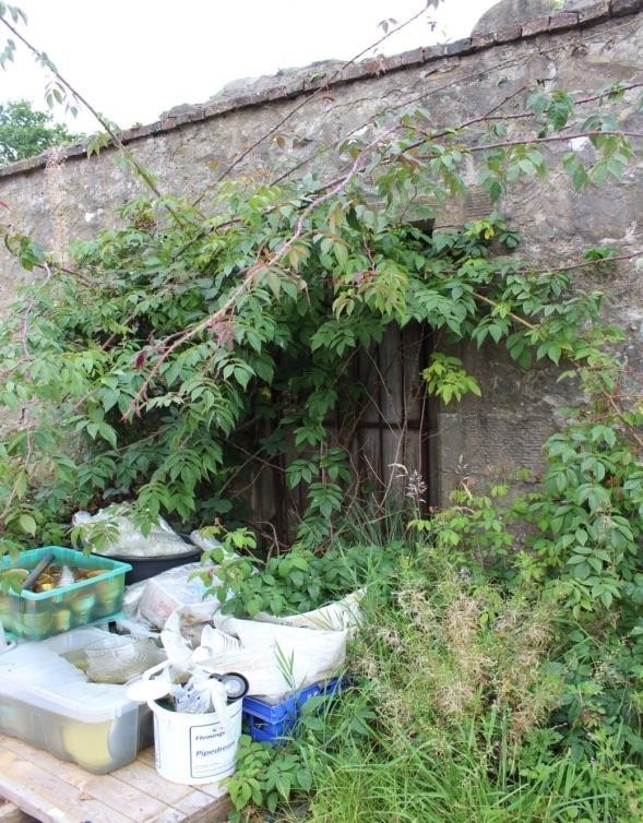
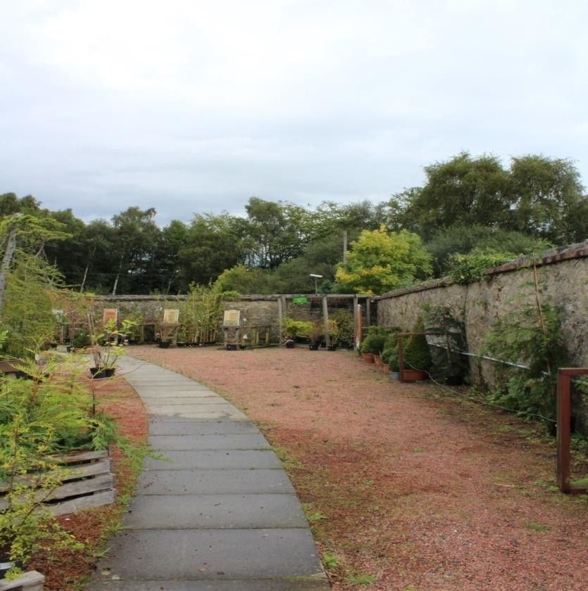
The first edition Ordnance Survey map, 1861, shows parkland around the house without the detail on Roy’s map. Maybe the garden had been redesigned in the landscape style. There are wooded roundels or knolls within the parkland. The main approach to the house was still the avenue from the Edinburgh-Stirling road. The south-east path led directly to a rectangular walled garden, with one curved wall facing the house. This feature was possibly visible from the house. The path continued in a south-easterly direction beyond the walled garden and went through an orchard to the lodge. The walled garden and lodge house still exist. Beyond this was the newly constructed railway.
By the time of the 2nd edition Ordnance Survey map (1899), the main approach was from the south-east with the drive now curving around the walled garden. The approach from the west had disappeared. Subsequent maps show little change.
Twentieth and Twenty-First Century
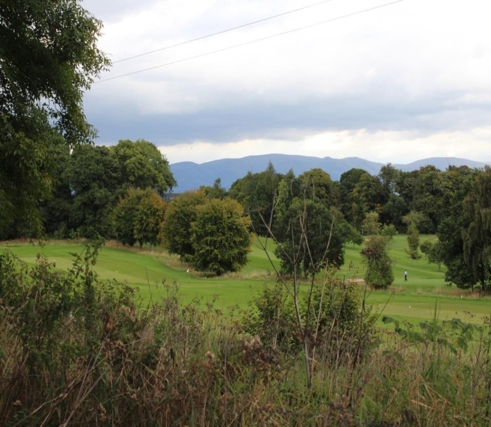
In 1932 the Glenbervie Golf course opened on land leased from the Carron Company. The course was designed by James Baird, the eminent professional golfer and course architect. It was said to have included the land where the Wallace oak tree once stood. Mature specimen trees, deciduous and evergreen, are scattered through the landscape.
The walled garden has been owned by the Stevenson family since 1942, who, after World War II, opened it as a Garden Centre. It is still being run by the same family. Glenbervie House is now run as a hotel, The Glenbervie House Hotel.
By Marion Shawcross and Fiona Gordon, Scotland’s Garden and Landscape Heritage volunteers 2020.